Studio
Wine-region posters
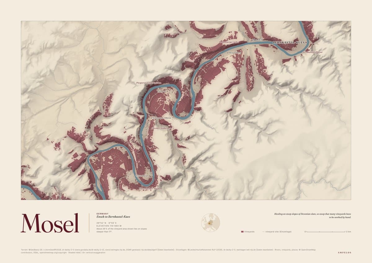
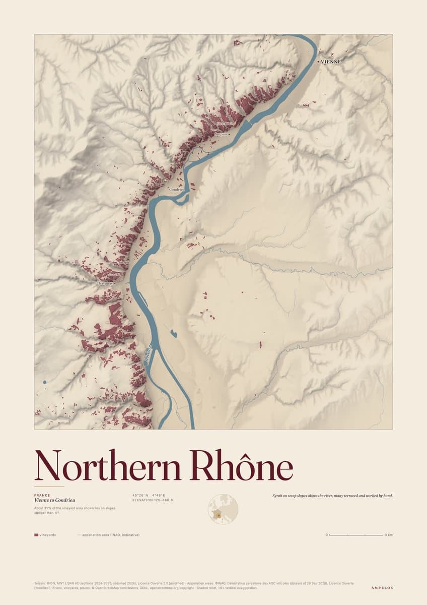
Each poster is built from open data: the shape of the land from airborne laser scans, official vineyard boundaries where a source exists, and the rivers, villages and vineyards from OpenStreetMap. Make it yours, then download a print-ready PDF.
Before you print
The PDF is ready for a print shop or a good home printer, with type kept sharp at any size. Posters are free for personal use, and the data credits printed along the bottom stay on every copy.